
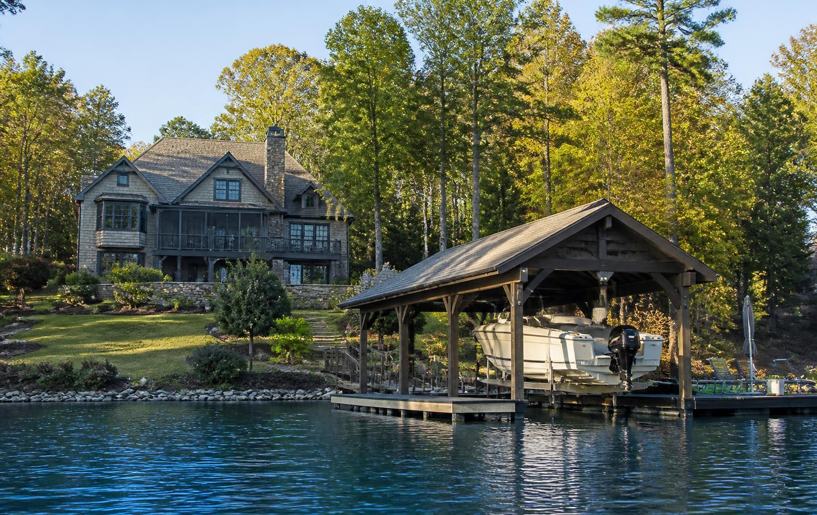
Lake Wylie has roughly 325 miles of shoreline and 13,400 acres of water, and almost every buyer searching for waterfront homes for sale on Lake Wylie starts with the same assumption: that waterfront is a single category. It isn't. Two lots that both touch water can differ enormously in dock rights, usable depth, privacy, exposure and long-term value. This guide is the due diligence most buyers wish they had done first.
Lake Wylie Is a Managed Reservoir
Lake Wylie is part of Duke Energy's Catawba River chain. Homeowners typically own to a project boundary near the shoreline, while the water itself and the land below full pond are administered under Duke's Shoreline Management Plan. In practice this governs three things buyers care about: whether a dock can be built, how large it may be, and what you may cut or stabilize along the bank.
Every shoreline segment carries a classification. Some permit new private docks; some are designated for environmental protection and permit none. A lot marketed as waterfront may be in either category. Confirm the classification, in writing, before contract.
Docks, Depth and Coves
A dock permit depends on water depth at the pierhead, cove width, distance to neighboring structures and the shoreline classification above. Deep-water lots — those holding usable depth at the end of a standard pier through normal operating levels — command a clear premium, because they support larger boats and stay usable year-round. Shallow back-cove lots are beautiful and quiet but can restrict you to smaller craft or a longer, costlier pier.
Lake Wylie is comparatively stable among Catawba reservoirs, held within a narrow band around full pond. That stability is a genuine advantage over lakes with deep seasonal drawdowns, where docks sit on mud for part of the year.
Waterfront vs. Water-View
Waterfront lots touch the project boundary and may support a dock. Water-view lots overlook the lake — often across protected preserve, which means the view is permanent — but carry no shoreline rights. At The Sanctuary, water-view homesites are more available and materially less expensive, and because the intervening land is under conservation covenant, the view cannot be built out later. For buyers who value the outlook more than the boat, it is frequently the better purchase.
North Carolina or South Carolina
The state line runs through this part of the lake. South Carolina generally offers more favorable property tax treatment and places homes in Clover School District; the North Carolina side is marginally closer to south Charlotte and falls under Charlotte-Mecklenburg Schools. Because The Sanctuary sits near this boundary, outcomes vary by homesite — verify taxes and school assignment by exact address with a local tax professional and the district, never from a listing.
What Waterfront Costs
Across the lake as a whole, waterfront ranges from modest older cottages in established coves to eight-figure estates. Inside The Sanctuary, waterfront trades above the general lake average for structural reasons: one- to three-acre homesites, private roads, custom construction under architectural review, and shoreline buffered by permanently protected forest rather than by a neighbor's lawn. That combination is not reproducible elsewhere on this lake at scale.
Availability Inside The Sanctuary
The community holds several miles of largely protected shoreline and releases very little at a time. Buildable waterfront homesites and waterfront resales surface periodically and rarely stay available long. Published maps and portals lag reality here; a current homesite list from an advisor who works the community is the only reliable inventory picture.
A Practical Due-Diligence Checklist
- Shoreline classification and whether a new dock is permissible
- Measured water depth at the proposed pierhead through normal operating levels
- Existing dock condition, permit status and transferability
- Cove width, boat traffic and afternoon wind exposure
- State line placement — taxes, schools and insurance
- Buildable envelope after setbacks, buffers and tree-save requirements
- Septic or sewer availability and geotechnical conditions on sloped lots
- Community architectural review timeline before construction can start