
Skip to content
The Sanctuary

Reviewed by the Discover The Sanctuary editorial team · Updated

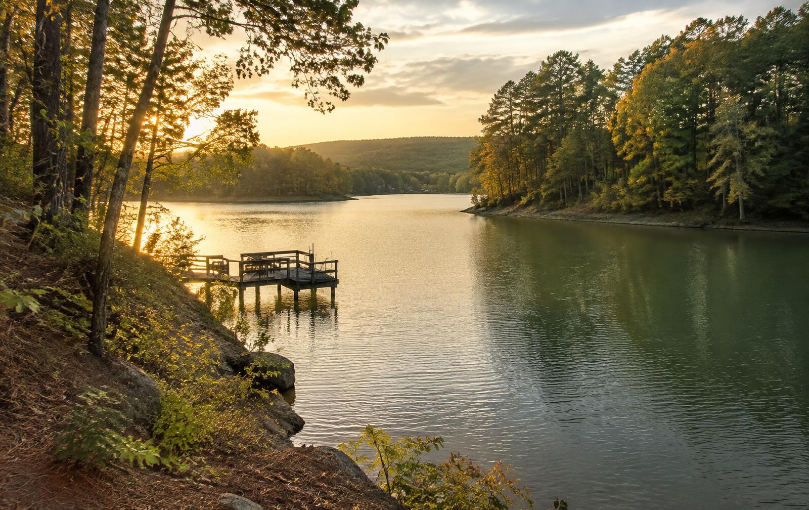
Golden-hour light on a quiet wooded creek arm of Lake Wylie with a small private dock

Local Guides

Crowders Creek

The western arm of Lake Wylie, the creek that feeds it, and the Clover-district schools that carry its name — what the water is like, who it suits, and how it differs from the main channel.

Crowders Creek is one of those Carolina names that means three things at once. It is a creek draining the country below Crowders Mountain in western Gaston County. It is the broad, protected arm that creek forms where it meets Lake Wylie in York County, South Carolina. And it is a pair of Clover School District schools that thousands of families search for by name every year. This guide separates the three.

The Creek and the Watershed

The creek runs off the eastern flank of the Kings Mountain range — the quartzite ridge protected today as Crowders Mountain State Park — and works south and east across the Piedmont toward the Catawba River. It is a working rural watershed: pasture, hardwood bottomland, road crossings and small tributaries, with the usual Piedmont behaviour of running clear in dry weather and clouding hard after a storm. That sediment pattern is why the lake arm downstream looks tea-coloured for a few days after heavy rain and then clears again.

The Lake Wylie Arm

Below the backwater line the creek becomes a genuine arm of Lake Wylie, wide enough for docked homes along both banks and deep enough through much of its length for pontoons and mid-size runabouts. It is calmer water than the main channel by a wide margin, which is exactly why people choose it: less wake against the seawall, easier paddling, and fishing structure in every cove. The trade is reach — long open runs mean leaving the arm, and depth thins as you push upstream, so a larger hull needs a chart and a look at the lake level before exploring.

The Schools

Crowders Creek Elementary and Crowders Creek Middle sit in the Clover School District, feeding Clover High School. They are among the most-searched school names on the South Carolina side of Lake Wylie, largely because the district's reputation is a genuine driver of relocation into York County. Boundaries are reviewed as the area grows, and a street a few hundred feet away can attend elsewhere, so confirm assignment by exact address with the district itself rather than from a listing. Our schools guide covers how the Clover and Charlotte-Mecklenburg systems compare across the lake.

How It Compares With the North Carolina Side

Crowders Creek is South Carolina water and South Carolina tax treatment; the Steele Creek shoreline opposite — where The Sanctuary at Lake Wylie sits — is North Carolina, Charlotte city limits and Charlotte-Mecklenburg Schools. The two are twenty to thirty minutes apart by road and a short cruise apart by water, yet they differ on property tax, school system, vehicle registration and even the agency that writes your boating citation. Buyers looking seriously at the lake should settle the state question early; our living in Lake Wylie guide walks through the practical consequences.

Buying on a Creek Arm

The diligence here is the same as anywhere on Duke Energy–managed shoreline, with one extra item. Confirm the parcel's shoreline classification and what it permits. Measure depth at the pierhead at winter drawdown rather than at full pond, because creek arms lose proportionally more water than the main channel. Pull the existing dock permit and verify it transfers. And check how far up the arm the property sits relative to the no-wake markers — it determines both how quiet the water stays and how easily a boat gets out to open lake.

Crowders Creek at a glance
DetailSummary
What it isA major western tributary and creek arm of Lake Wylie, flowing off Crowders Mountain toward the Catawba
CountiesGaston County NC at the headwaters; York County SC along the lower arm
Empties intoLake Wylie, on the South Carolina side near the Buster Boyd and Highway 274 corridors
Nearest townLake Wylie / Clover, South Carolina
SchoolsCrowders Creek Elementary and Crowders Creek Middle, Clover School District (verify by address)
Water characterShallower and more protected than the main channel; no-wake in stretches
Typical useFishing, kayaking, pontoon cruising, dock living rather than big-water running
Named forCrowders Mountain, the monadnock west of Gastonia that the watershed drains
Drive to Uptown CharlotteRoughly 30–40 minutes depending on corridor and hour

Orientation only. Confirm county, school assignment and shoreline classification for a specific address before relying on them.

Frequently Asked

Questions About The Sanctuary

Where is Crowders Creek?+

Crowders Creek drains the country around Crowders Mountain in western Gaston County, North Carolina, and runs south into York County, South Carolina, where it widens into one of Lake Wylie's larger creek arms. The name attaches to three things people search interchangeably: the creek itself, the Lake Wylie arm it forms, and the Clover-district schools that carry the name.

Is Crowders Creek part of Lake Wylie?+

The lower creek is. Where Crowders Creek meets the impounded Catawba it becomes a broad, protected arm of Lake Wylie, with docked homes along both banks. Upstream of the backwater it narrows back into a free-flowing Piedmont creek.

What school district serves Crowders Creek?+

Crowders Creek Elementary School and Crowders Creek Middle School sit in the Clover School District in York County, South Carolina, feeding Clover High School. Assignment always depends on the exact street address and is subject to boundary review, so confirm with the district before relying on it.

Can you boat on Crowders Creek?+

Yes, on the lake arm. It is a favourite for pontoons, fishing boats and paddle craft because it stays calmer than the main channel. Depth falls off as you run upstream, and stretches carry no-wake designation, so read the buoys and check depth before taking a larger hull far up the arm.

Is the fishing good on Crowders Creek?+

It is one of the better-regarded arms on the lake for largemouth bass and crappie, largely because of dock structure, laydowns and creek-channel breaks. Spring and fall fish best. A South Carolina or North Carolina licence applies depending on where you are on the water.

How far is Crowders Creek from The Sanctuary?+

The Sanctuary sits across the lake on the North Carolina side, in the Steele Creek area of Charlotte. By road it is roughly 20 to 30 minutes around the shoreline; by water it is a short cruise. The two sit in different states and different school districts despite sharing the same lake.

Is Crowders Creek the same as Crowders Mountain?+

No, though they share a name and a watershed. Crowders Mountain is a state park and a prominent quartzite ridge west of Gastonia, with popular hiking and rock-climbing routes. Crowders Creek is the waterway draining that country toward Lake Wylie, about half an hour to the south.

What is living on Crowders Creek like?+

Quieter and less expensive per waterfront foot than the main-channel addresses, with a mix of older lake cottages, newer subdivisions and pockets of acreage. Buyers trade open water and long runs for calm, privacy and shorter dock exposure to wake. As with anywhere on this lake, Duke Energy shoreline classification governs what can be built at the water.

From the editor

Who does this work here

  • Your Leader in LuxuryWaterfront advisors working both sides of Lake Wylie, including the South Carolina creek arms.

  • Peters Team RealtyCharlotte-metro team covering Clover, York County and the wider Lake Wylie relocation market.

These are working practices in this community, not advertisers on this page. Links open their own sites.

Continue Exploring

Related Reading

Looking across the water instead?

The Sanctuary holds 1,350 acres of the North Carolina shoreline, with private coves, resident trails and more than half its land held as permanent preserve.

Sources

Primary sources cited

Facts on this page can be verified against the agencies, districts and utilities that publish them.

  1. 01Lake Wylie lake information and shoreline managementDuke Energy. Water levels, full-pond elevation, shoreline classification and dock permitting authority.
  2. 02Lake Wylie Marine CommissionLake Wylie Marine Commission. No-wake zones, buoys and on-water rules specific to Lake Wylie.
  3. 03South Carolina Department of Natural ResourcesSCDNR. Boating registration, fishing licences and state boating regulations.

Keep Reading